
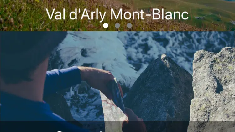
Description
Hiking, mountain biking, Trail and Cyclo, the Alpine Traces App is the essential ally of your nature outings in Beaufortain, Val d'Arly and Pays d'Albertville. The GPS navigation guides you to the discovery of a hundred routes.
Free and downloadable from the Play Store and the App Store.
From your smartphone, in 1 click, choose the route according to your practice, your desires (duration, level of difficulty, locations ...). Download the course to your charged phone (no network needed to use the application) and off you go!
The application also offers:
- Route guidance to the starting point of the chosen route
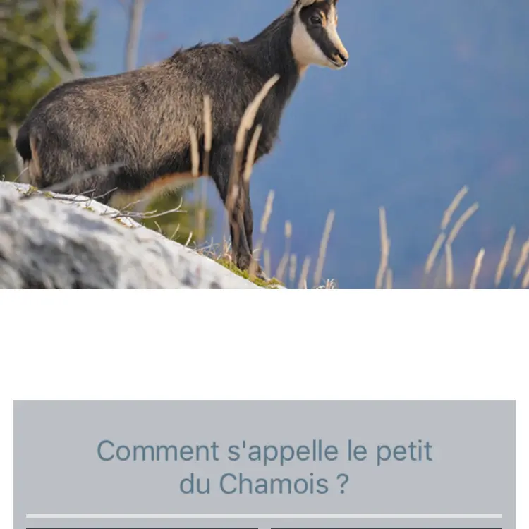
- Fun quizzes to test young and old on your knowledge of nature, heritage or the history of the place on your route
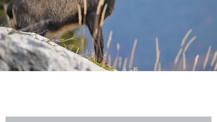
- Images, videos associated with the different routes and which are displayed in real time in order to discover all the secrets of your route.