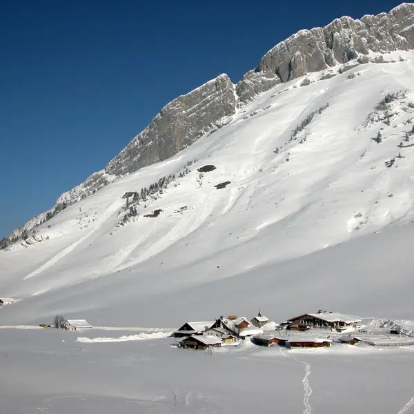
Crest-voland-cohennoz-Winter
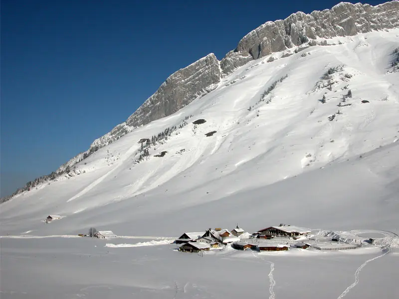
Flumet-Winter
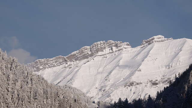
giettaz-Winter
©Office de Tourisme du Val d'Arly
Ski en famille dans le Val d'Arly