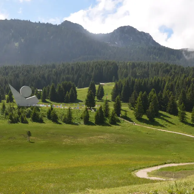
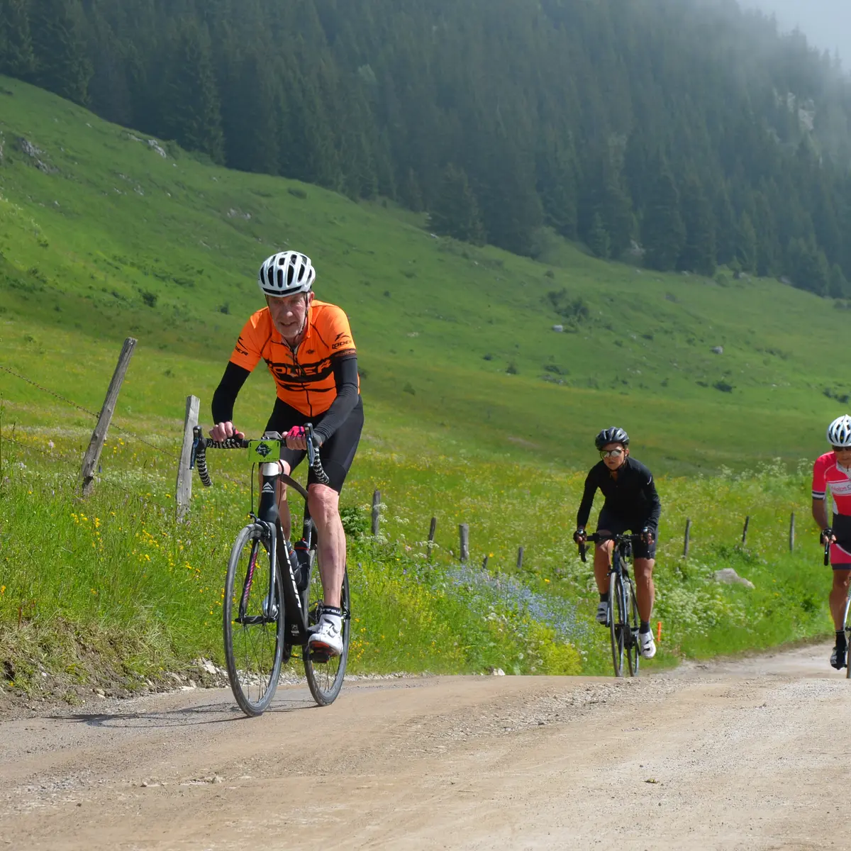
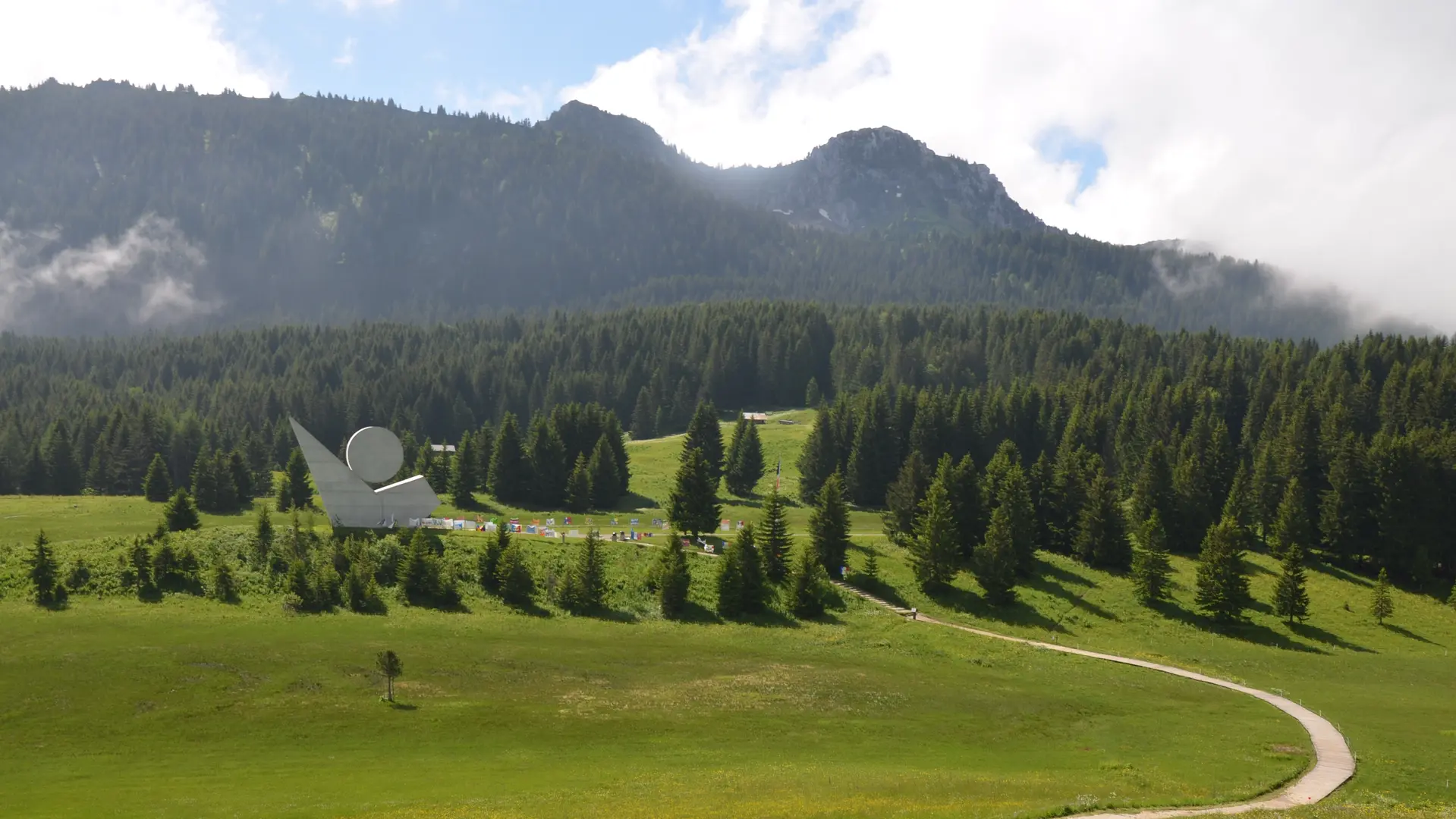
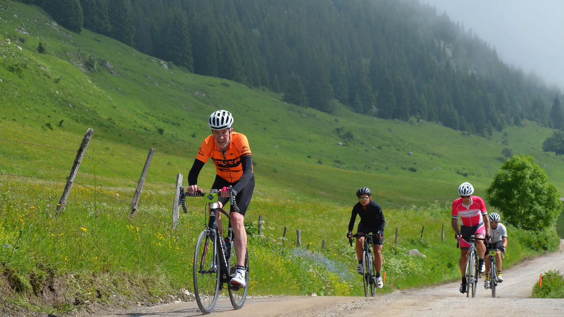
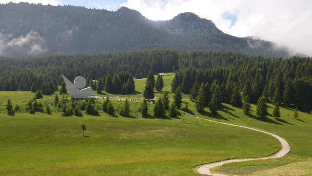
A remarkable climb to the Glières plateau, demanding and sustained, offering technical passages between forests and mountain pastures. The panorama opens up onto Mont Blanc, fully rewarding the effort made, all with a gravel section for fun!
* Route details :
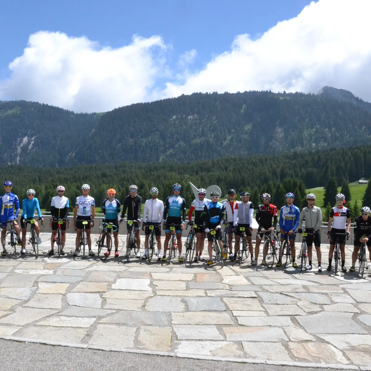
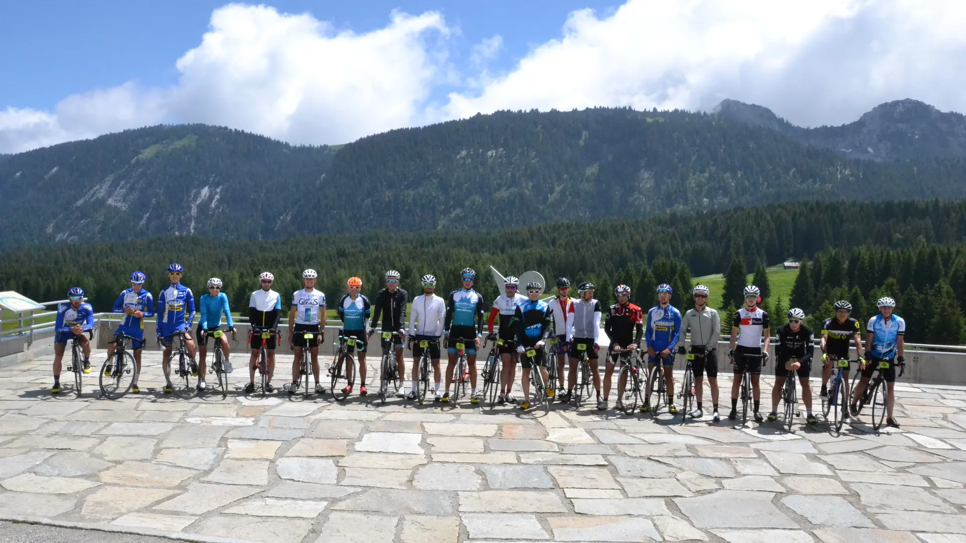
Departure from La Giettaz - Col des Aravis – La Clusaz – St Jean de Sixt – Entremont – Les Glières – Thorens – Aviernoz – Villaz – Dingy St Clair – La Balme de Thuy – Thônes - St Jean de Sixt via route des Villards - La Clusaz - Col des Aravis- La Giettaz : 98km/2430m+
* Challenging sections:
- Col des Aravis climb
Distance: 6 km, elevation gain: 450 m, average gradient: 6.2%
- Glières climb
Distance: 9.7 km, elevation gain: 800 m, average gradient: 8.3% (max 16%)
A demanding climb on gravel paths and secondary roads. The first 4 kilometres are rolling but gradually steepening. The central section has several technical and narrow passages, with tight bends and sections with gradients of over 9%. The final section crosses open mountain pastures, offering spectacular views of Mont Blanc before reaching the plateau at 1,450 m.
Climb via Thônes to the Col des Aravis (left side, off the national road
A picturesque route via secondary roads and wooded hillsides on the left side of the valley, avoiding the national road. Alternating moderate slopes and flat sections, with technical passages in hairpin bends. The road gradually reaches the foot of the Col des Aravis, allowing you to complete the loop with one last sustained effort.
Type of land : Stone / Hard coating (tar, cement, flooring) / Grit