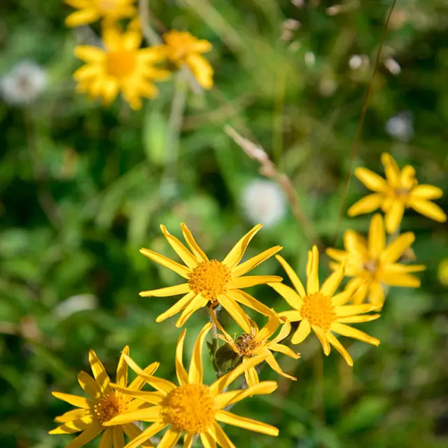
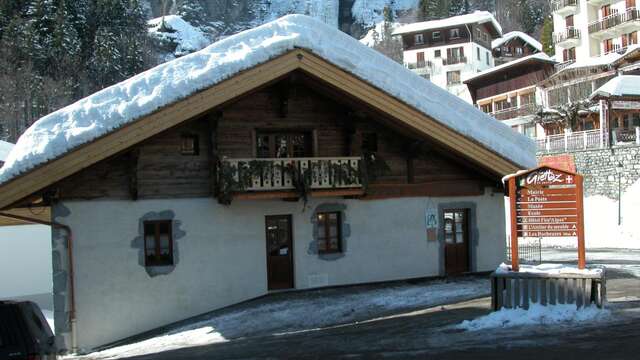
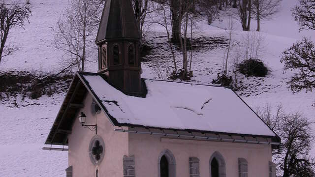
DEPARTURE: The village of Giettaz in Aravis with the church of Saint Pierre aux Liens and the museum of the past that tells the life of the Giettois.
ROUTE: From the Tourist Office, go down along the Route des Grandes Alpes to the Pont de la Giettaz. From here, turn left onto the ARRONDINE (steep portion). Continue on the trail until ROC DU CHARBONNIER and go downhill to the ARMOY. Cross the Arrondine and continue until PLAN. Return by the same route.
Marking details : Marked with yellow signs.
Type of land : Not suitable for strollers
Plain text rates
Walking and hiking map of the Val d'Arly for sale at 9 € or Topo Walks and Short hikes on sale at € 4 in the tourist offices