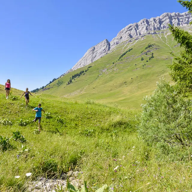
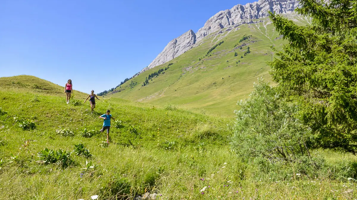
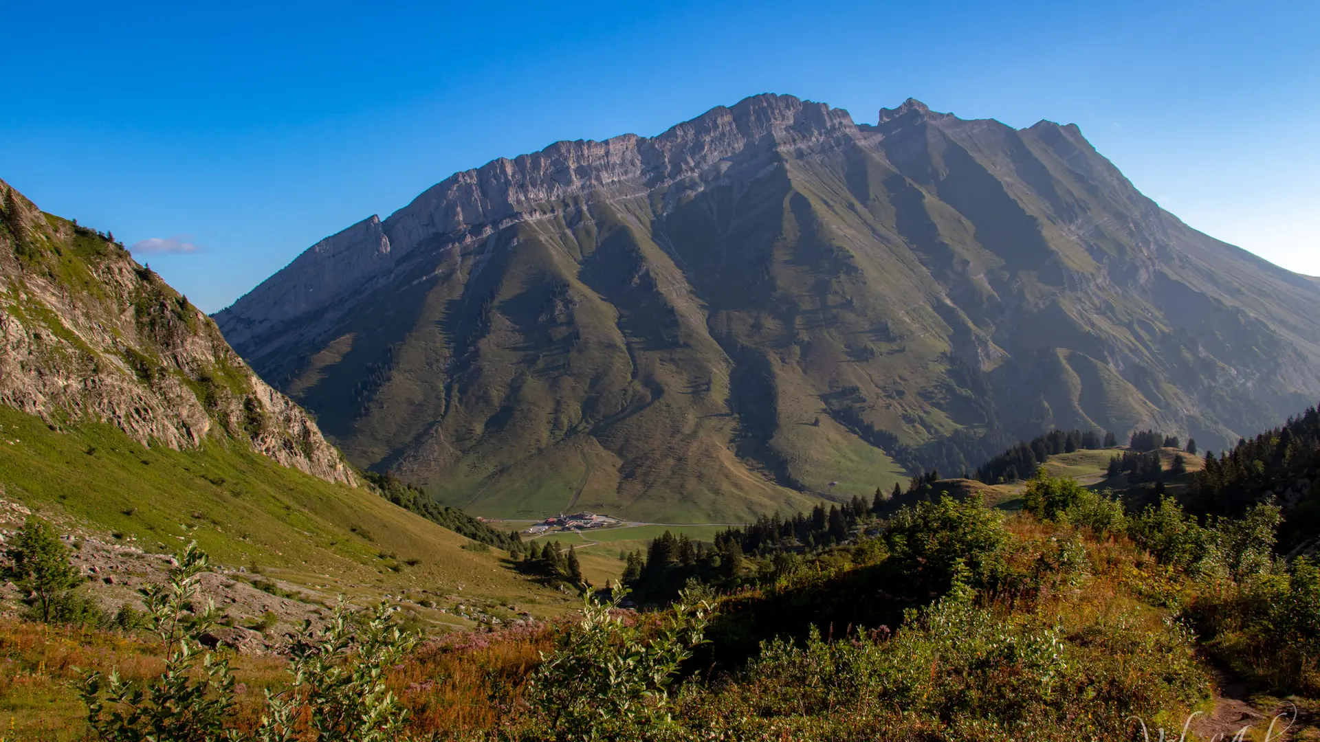
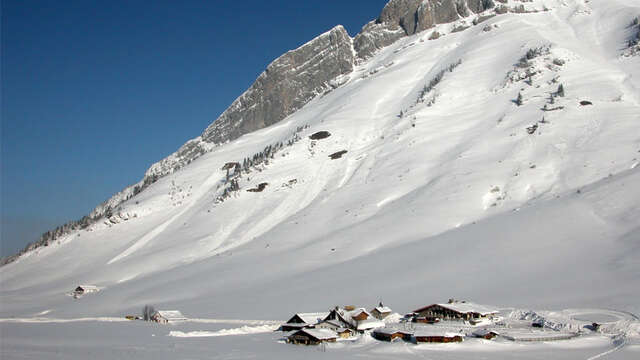
Panoramic walk at the foot of the Aravis.
The trail is used by farmers and hikers as part of their work. For a good cohabitation be courteous and let them pass.
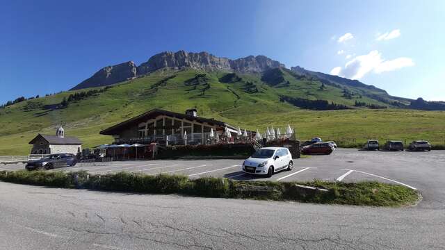
DEPARTURE: Col des Aravis.
Use the roadside parking provided for this purpose, so as not to hinder agricultural users.
ROUTE: From the parking of Col, take the track towards LA ZORETTE (direction South). Take the path towards LA SOURCE DES ARAVIS, then PLANCHAUX. Join the LA signpost CROIX DE FER : return to the cross to enjoy the panorama. Then take the track back to LA TÊTE and LA ZORETTE to return to Col des Aravis.
POINTS OF INTEREST:
- The panoramas on the village of La Giettaz and the massif of Mont Blanc.
- Many alpine farms, with the possibility to buy cheese, butter ...
Marking details : Marked with yellow signs.
Type of land : Stone / Ground / Not suitable for strollers
Plain text rates
Walking and hiking map of the Val d'Arly for sale at 9 € or Topo Walks and Short hikes on sale at € 4 in the tourist offices