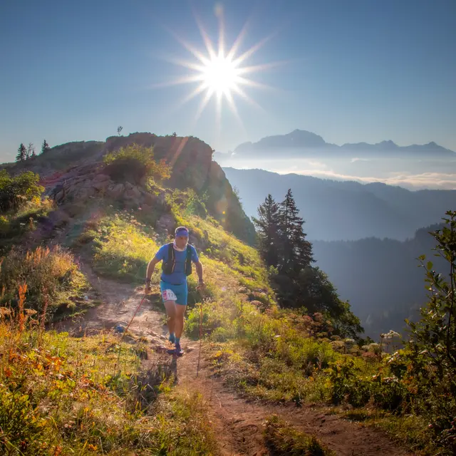
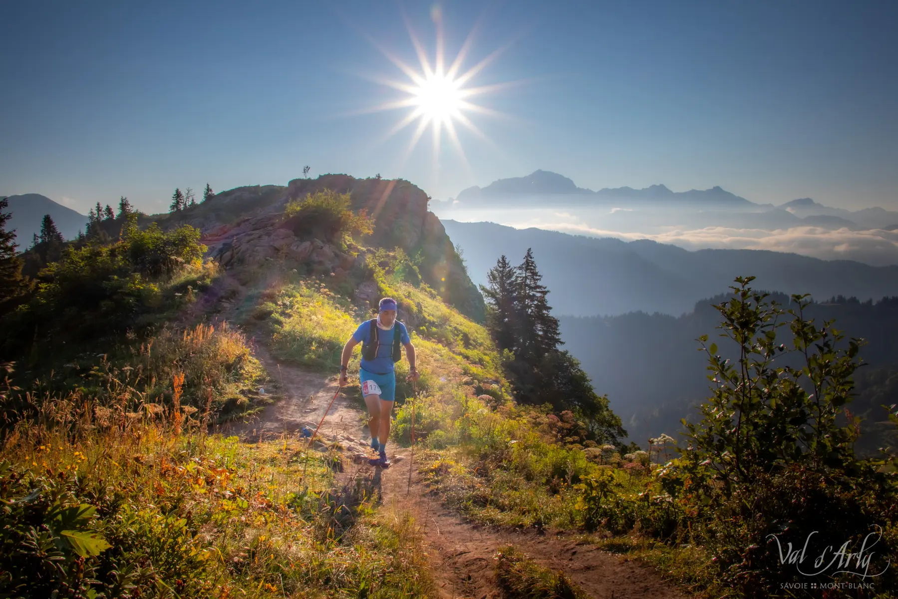
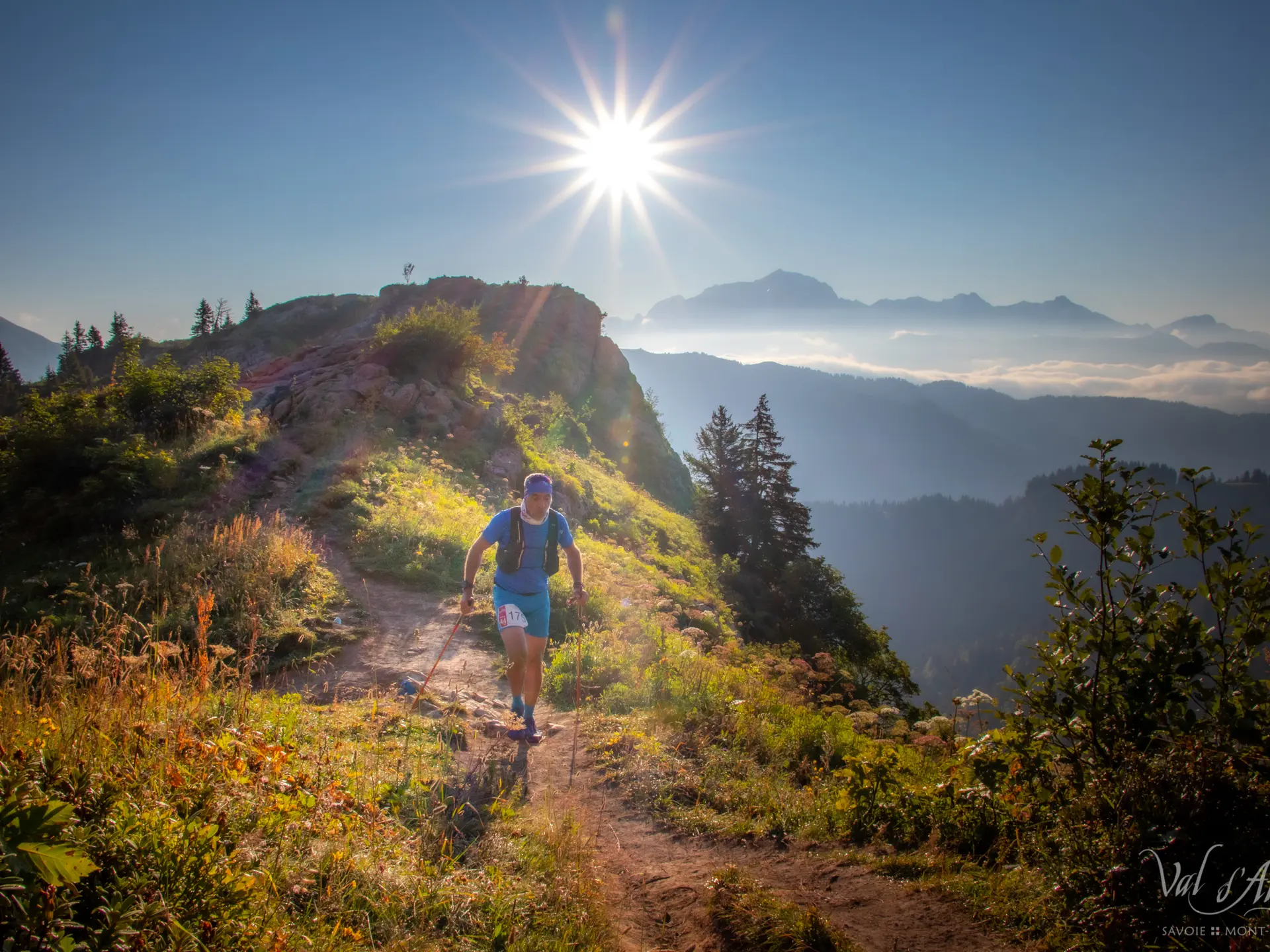
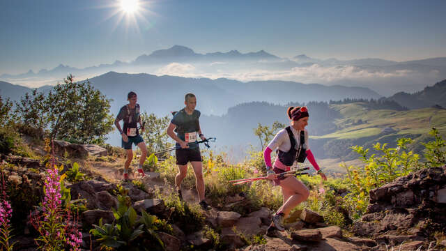
Departing from the Tourist Office in Flumet or the village of St Nicolas la Chapelle, this route will allow you to discover its exceptional panorama of Mont-Blanc and Val d'Arly in sports version !
After leaving from the Tourist Office, go down towards the PLAN D'EAU then take the PONT DE CHAUCISSE, LA LANDELIÈRE, LE PRAZ, and the VILLAGE. From there, continue the track in the direction of COMBES, MARCINELLE, LES CRÊTS, TRÉ LE SEZ, BOIS DES AVENIÈRES, to reach the panorama LE TREU (1835m). Then, climb to LES STALLETS, LES HAUTS DE BOGNEUVE and descend to BOGNEUVE. Again, climb towards PELOSET, and the CROIX STATA where a magnificent panorama awaits you!
Continue to arrive at SOUS LA CROIX, then attack the descent to CARRÉS. From there, take the path for CHAUCISSE, passing through LES ROZETS. Once there, head towards LES CHOZALETS, NANCHARD, L'ARRONDINE, PONT DE MANANT, STIAZIEUX, BELLAVARDE, LES RECOURBES, LE CHAR, CHEZ CAHOT then get off at L'ÉGLISE, CHEMIN DE L'ÉGLISE to get to the office car park. of tourism.
Marking details : Course n°17.
Specific signage is in place on the Val d'Arly and Beaufortain trail routes. All the routes are marked according to the color and the name of the route. You will find these beacons at each intersection, they indicate the direction to follow.
Type of land : Stone / Ground
Duration: between 3h and 6h.